" It is a man's duty to have books. A library is not a luxury, but one of the necessaries of life. "
— Henry Ward Beecher

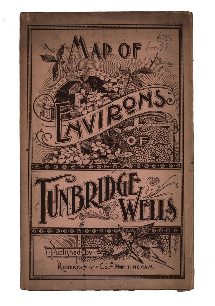
Nottingham: Roberts & Co., no date [circa 1890s]. [Tourist Map] ORIGINAL MAP. Folded 19 x 12cm, unfolded 39 x 48cm. Printed in red, blue and black, divided into two-mile squares by a heavy red grid. Showing the country around Tunbridge Wells, between Westerham, Rye, Lewes and Lenham. A free copy, advertising further copies on application for 1s each. Moderate toning and handling to covers. Very good. Item #60099
Price: £35.00
Standard worldwide shipping is free for all orders over £200. UK standard postage is free for all orders. For expedited delivery, please contact us directly. See our full terms.


