"Books are a hardbound drug with no danger of overdose. I am the happy victim of books."
— Karl Lagerfeld

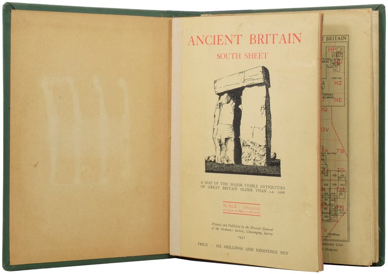
Chessington: Ordnance Survey, 1951. [Map of Ancient Britain] FIRST EDITION. A folding map on canvas backing with accompanying booklet, bound together. Octavo (22 x 16cm), pp.36. Map scale 1:625,000 (10 miles to 1 inch). Green cloth library binding, with gilt titles to spine and blind stamp to upper board. Some toning as expected, institutional stamp to final leaf of the booklet, some pin holes to map, ghost of a removed label to pastedown. Some light wear and marking to the binding. Very good. Item #50325
Price: £35.00
Standard worldwide shipping is free for all orders over £200. UK standard postage is free for all orders. For expedited delivery, please contact us directly. See our full terms.


