" It is a man's duty to have books. A library is not a luxury, but one of the necessaries of life. "
— Henry Ward Beecher

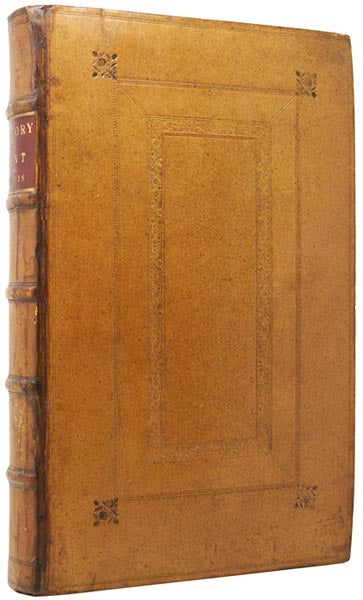
London: Printed and Sold by D. Midwinter, 1719. [Kent Topography/Cartography] FIRST EDITION. Folio (40 x 29cm), pp.[2]; iv, Dedication; iv, Preface; ii, Ode to Kent; iv, List of Subscribers; 592; xl. Illustrated with 43 fine engravings, of which 39 are double-page and/or fold-out. Includes fine panoramas of Rochester and Tunbridge Wells, the map of Romney Marsh, the map of the Isle of Thanet and a latin version of the same. A county map of Beacons is included, but not the large folding county map. Elegantly bound in a late Georgian or Victorian polished and panelled calf with gilt-edges in the rough, by G.J. Andrews Binder of Bloomsbury. Contemporary ownership of David Polhill, many views exquisitely conserved at the time of rebinding, portrait frontispiece window-mounted at that time, subsequent repair to joint. Shows well. Volume One was all that was published, being issued shortly after Harris' death. A superb collection of views of the great Kentish houses, by Kip and Badeslade. Clearly given attention and expenditure in the nineteenth century, this is a well-preserved example. Item #49242
Price: £3,250.00
Standard worldwide shipping is free for all orders over £200. UK standard postage is free for all orders. For expedited delivery, please contact us directly. See our full terms.


